Hiking at Semmering

Take a deep breath & enjoy nature in the fresh mountain air
at Semmering.

Panoramic hiking Sonnwendstein - Hirschenkogel
Route: 11.50 km
Duration: 4:00 h
Ascent- Descent: 703 Hm
Difficulty: medium
Through untouched forests to the alpine pastures of the Sonnwendstein (1,523 m) and the Erzkogel accompanied by fantastic panoramic views into the Vienna Basin to Lake Neusiedl, into the Styrian Mürztal to the highest foothills of the Eastern Alps Rax & Schneeberg.

Semmering Magic View Round
Route 10 km
Duration: 3:00 h
Ascent/descent: 250 hm
Difficulty: easy
Imposing viewpoints accompany you on the hike . Explore the Semmering with all its facets.

Pinkenkogelrunde
Distance: 6,50 km
Duration: 2:15 h
Ascent/descent: 300 hm
Difficulty: easy
The network of hiking trails around the Pinkenkogel offers many variants both from the starting point at Passhöhe Semmering and from the starting point at Hochstraße above the Südbahnhotel.

Pilgrimage round Semmering - Maria Schutz
Distance: 7.70 km
Duration: 2:30 h
Ascent- Descent: 274 Hm
Difficulty: medium
Traditional hike from the Semmering pass via the forest path to the pilgrimage site of Maria Schutz with its famous church and to the Lourdes grotto.

Railway hiking trail Semmering - Breitenstein
Distance: 10 km
Duration: 3:30 h
Ascent: 404 m / Descent: 506 m
Difficulty: medium
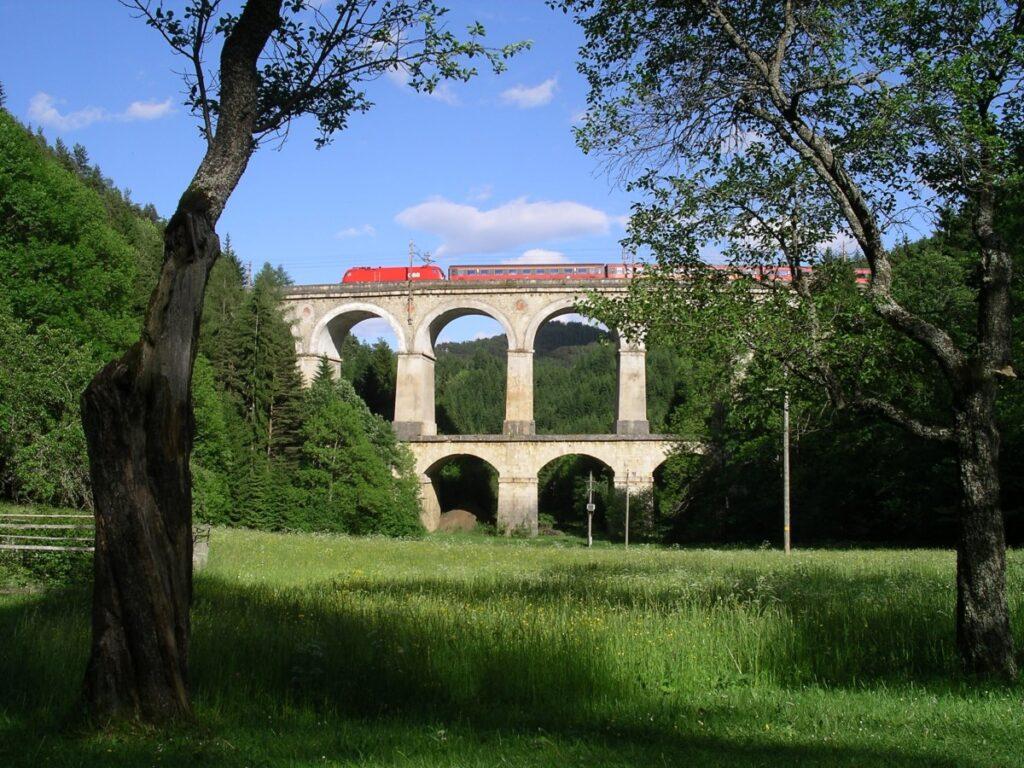
The stage of the railway hiking trail leads from Semmering past the most impressive viaducts and buildings of the UNESCO World Heritage Site to Breitenstein railway station as an intermediate destination. A leisurely hike that has a lot to offer!

Kummerbauer Tour - Around the Sonnwendstein
Distance: 16,50 km
Duration: 5:45 h
Ascent/descent: 800 hm
Difficulty: easy
Varied day tour over the Hirschenkogel, the Erzkogel down to the Gasthof Kummerbauer, further over the Göstritzgraben to Maria Schutz to the pilgrimage church and via the forest path back to the Semmering pass summit.

To the construction rock at the "Eselstein" - Donkey Stone
Route: 9.20 km
Duration: 3:00 h
Ascent- Descent: 389 Hm
Difficulty: medium
Leisurely hike to the vantage point on the Eselstein. This is where Carl Ritter von Ghega planned the course of the Semmering Railway through the upper and lower Adlitzgraben to the Semmering.

On the Kampalm
Route: 14.50 km
Duration: 5:00 h
Ascent: 639 hm/ Descent: 848 hm Difficulty: medium
Through deep green forests on airy heights, lonely over the ridge of the Ochner to the Kampalm. At the summit cross on the Kampalm, you are rewarded with a fantastic deep view into the Mürztal.

Hirschenkogel - Millennium tower
Route: 7 km
Duration: 2:00 h
Ascent- Descent: 344 Hm
Difficulty: easy
You can also use the mountain railways for the ascent. Operating hours: www.semmering.com

Thalhof
Distance: 22.60 km
Duration: 6:45 h
Ascent- Descent: 670 Hm
Difficulty: medium
Extensive forest hike to the Jagdhof hunting lodge and via the Adlitzgraben, the Rotberg back to the Semmering.

TVN round trip hiking trail
Route: 11 km
Duration: 2:50h
Ascent- Descent: 483 Hm
Difficulty: medium
Beautiful shady hike over the Ochnerkamm to the Liechtensteinstraße and back over the Hochstraße to the pass summit.
